The Grand Canyon of the Tuolumne hike is without question one of the most epicly stunning hike-through trails in Yosemite National Park, within the boundaries of Tuolumne County. The earliest tales of this journey are from the local Mi-Wuk and Piute Native Americans, who traversed these canyons for millennia as trading routes between Mono Lake and Hetch Hetchy.
White Wolf Campground to Tuolumne Meadows - The map of the Grand Canyon of the Tuolumne Hike.
An optimal hike for spring and late summer with very alternative views to each. Spring hikers can expect raging rivers and several water crossings. In spring expect portions of the trail to be submerged. Late summer hikes along this trail have crystal clear, slow moving rivers and swimming holes. Midsummer is of course also very doable, but you’ll have to contend with some pretty hot midday heat and quite a bit of sun exposure as you hike.
Staring down the deep canyons - Tuolumne County Yosemite adventure
There are 2 options for this thru-hike:
Tuolumne Meadows to White Wolf Campground or vise-versa. Given the rather intense elevation gain hiking Tuolumne Meadows to White Wolf, most hikers (including ourselves) opted for the increase in elevation over a greater distance, so that meant White Wolf to Tuolumne Meadows.
The terrain is vast, with scale that rivals proportions of the infamous Yosemite Valley. There is no mistake that John Muir described this canyon as “even more grandeos than Yosemite Valley”. When you put the Hetch Hetchy valley into the total equation, Muir’s sentiment is very real.
If I were to rate difficulty of hikes in Yosemite 1-5 (easy to hard), the Grand Canyon of the Tuolumne Hike would easily land in that number 5 spot, regardless of the starting point.
There are few trails in Yosemite that span this distance with so much elevation gain & loss. The saving grace to the endurance required, is that the trail goes along the Tuolumne River nearly 80% of the way. Allowing for ease of access to drinking water and a place to cool off when the heat of the day is enduring.
Start to finish, we calculated the entire distance hiked at just around 47 miles. That includes all of the trips to the river for water, a little side exploring and the general necessity of enjoying yourself and not spending every second on the trail. If you just hike through and stick to the trail, you can estimate on just around 30 miles in total.
The best way to conquer this as a hike-thru is with 2 vehicles. Have one vehicle drop everyone off at White Wolf, after that both drivers drop the second car off in Tuolumne Meadows, then the 2nd vehicle drives back to White Wolf with everyone in the car to park there. That way when you exit in Tuolumne Meadows you don’t have to try hitchhiking back to White Wolf or relying on any forms of public transportation in Yosemite.
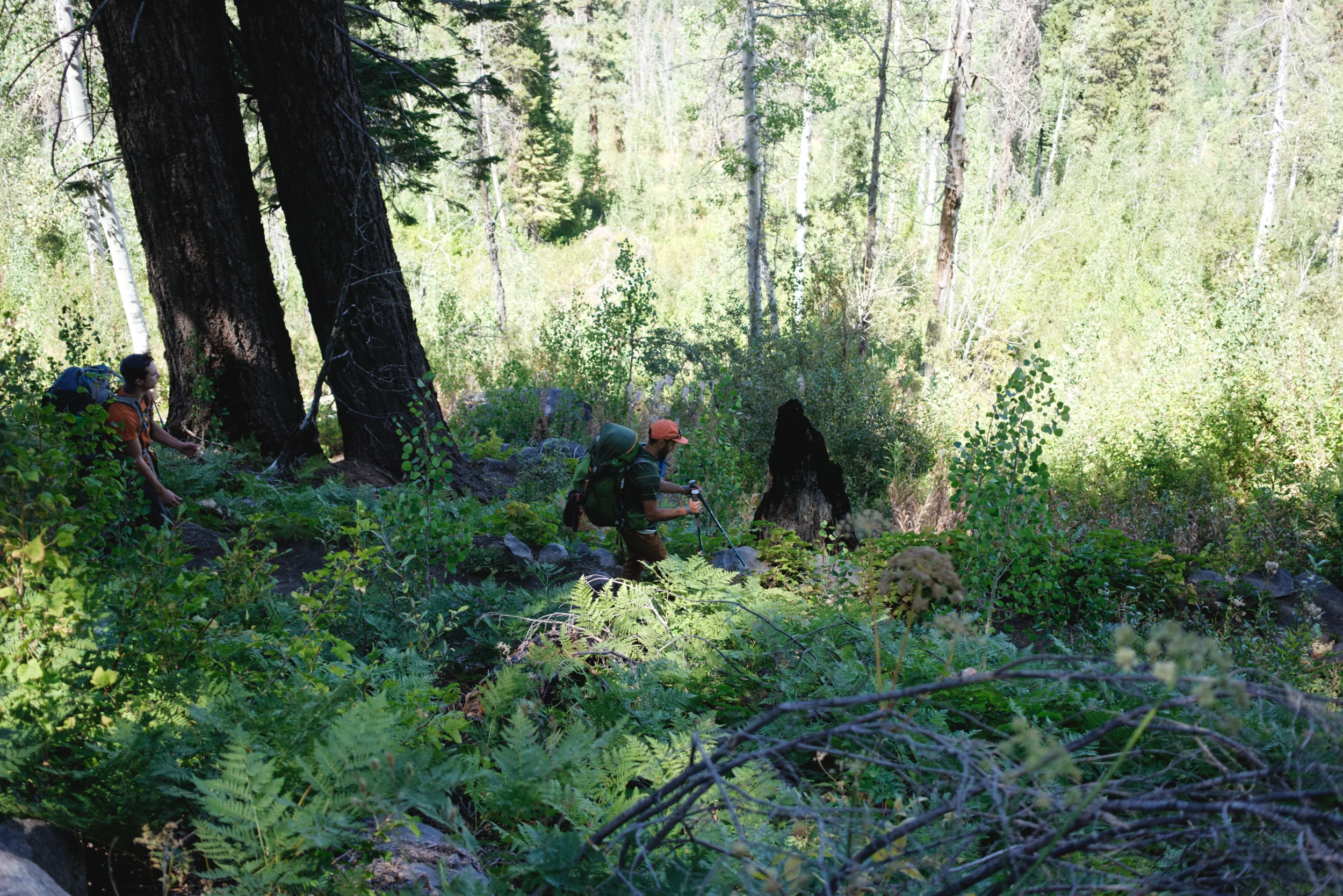
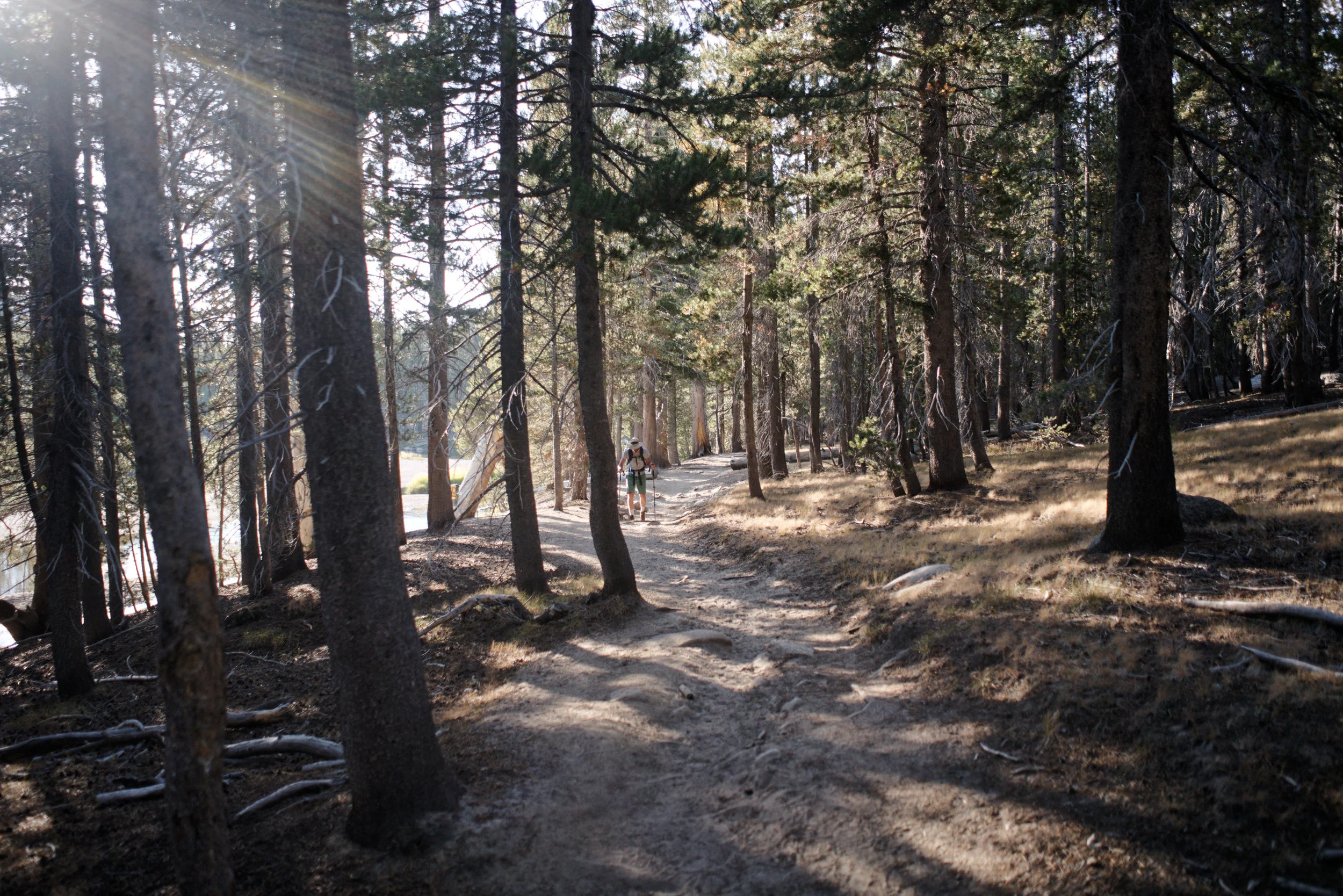
The start of the White Wolf trail begins with a nice even meander for a mile on a park service dirt road before you hit the wilderness trailhead. From that point on, you continue past Hardin Lake, where you can take a stop to enjoy some of the plant and wildlife that call Hardin Lake home.
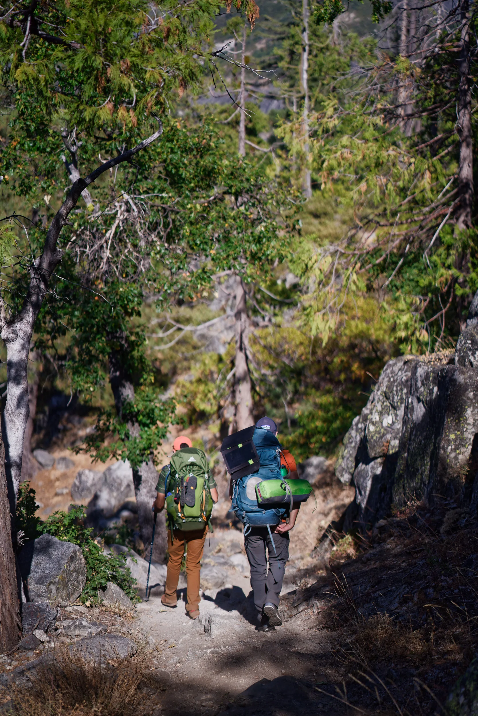
As you make your way down on the trail past Hardin Lake, you’re going to be gradually losing elevation to the brim of the canyon decent. Reaching the canyon rim outlook is obvious and the switchbacks becomes more aggressive as you descend . Some experienced Yosemite trail hikers have said; the White Wolf descent (or ascent) is one of the most challenging in the entire park trail system. Either way you go, it’s a long, slow grinding pace that wears you down by the sheer extreme elevation gain or loss.


Eventually you drop down into the Tuolumne River canyon, and the tail end of Hetch Hetchy reservoir can be seen down along the canyon pinch. As the trail evens out along the Tuolumne River, it gradually follows it westward towards Pate Valley. By this time you’ll probably be feeling the weight under your knees.
Not to worry, your campsite for the first night is not far away in Pate Valley. After we arrived, the first order of business was to set up a quick camp, make food and try to get a good night's sleep. But of course we had to do a little rock climbing before we hit camp.


The next morning we crawled out of our tents to witness a beautiful sunrise as we took our time getting packed up and ready to hit the trail again. But before we hit the trail, a dip in the Tuolumne River helped stiff joints and sore feet.


A few miles up the trail, we encountered one of the most epic swimming holes we had ever seen in Yosemite, so we had to stop of course. The swimming hole seems to only reveal itself in the late summer, when water levels recede enough for it to be safely enjoyed. Deep crystal green pools with vast caverns underwater, carved to smooth perfection through half a million years of slow liquid erosion. The next few hours were spent exploring the underwater caves and jumping off the rocks into the deep pools.


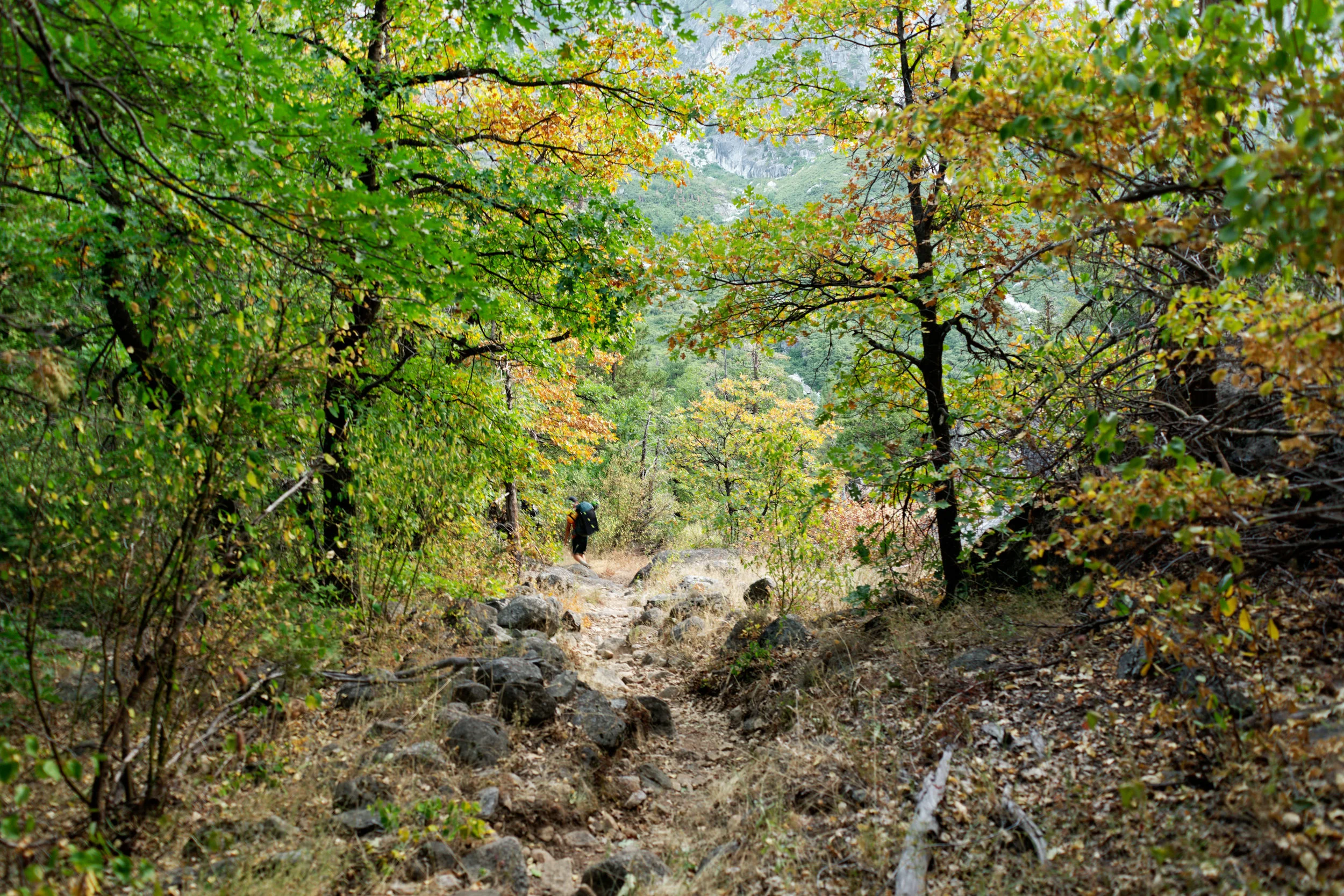
Our plan was to camp for the night at Waterwheel falls, and the distance we still needed to cover from the swimming hole was at minimum 8 miles, and an intense elevation gain of nearly 2,000ft. The next 8 miles were spent slogging up along the Tuolumne River canyon. As we entered the deep elbow of the infamous Muir Gorge, we looked up at granite walls that seemed in equal measure to those in Yosemite Valley. Standing there, it started to feel like the monolithic granite giants of Yosemite closed in on us, with nowhere to escape. It was an almost contrasting dilemma to the senses, where claustrophobia and Agoraphobia intertwine. In the presence of these towering walls, we were only left with the absoluteness of natures ceremony in causality. The sun was setting as we hit the crest out of the Muir Gorge abyss, and fatigue was starting to creep in from the midday sun and heat.


A few hours later, we neared the base of Waterwheel falls and a campsite of notable proportion presented itself. We took this opportunity to set up tents, make food and listen to the sounds of the river just around the bend. Looking up at the night sky, reminded us all of why we love the Tuolumne County side of Yosemite. We were also reminded that we had seen only 3 other people during the duration of our hike, and nearly had Yosemite to ourselves.
We woke up to another amazing sunrise and started to cook breakfast, filter water, and dismantled camp. Once again we hit the trail, onward to Glen Aulin High Sierra camp. Five more miles and another 2,000ft in elevation gain was ahead of us. The journey was slower than the previous day and we tried to enjoy the scenery, stopping atop Waterwheel Falls to filter more water, and get the rare opportunity to sit on top of a waterfall; that any other time of the year would be ten times larger in water volume.


The next sections of elevation gain gave way to even more epic granite domes and boulder debris. We again could not help making comparisons in rock features to those in Yosemite Valley. The next plateau stretched into beautiful meadows of giant ferns and corn lilly’s. We were starting to see features of high elevation meadows that are more typical of the Yosemite high country. At nearly 8,000ft, we could for the first time start to feel the elevation impact our energy levels with each step.


Slowly, the cascading waterfalls below Glen Aulin came into view, and we knew the next swimming opportunity was moments away. Glen Aulin was as stunning as we remembered it, a high country camp in Yosemite that offers a little mix of glamp, camp, waterfalls and high mountain peaks in every direction. The waterfall and pool at Glen Aulin was the freezing cold therapy we desperately needed to soothe our feet and sore muscles.


There was a lot of contemplation on whether to make a camp near Glen Aulin, or make the 7 mile push out to Tuolumne Meadows. After some careful discussion, the collective decision was made to take some deep breaths, and exit out to the car before dark.


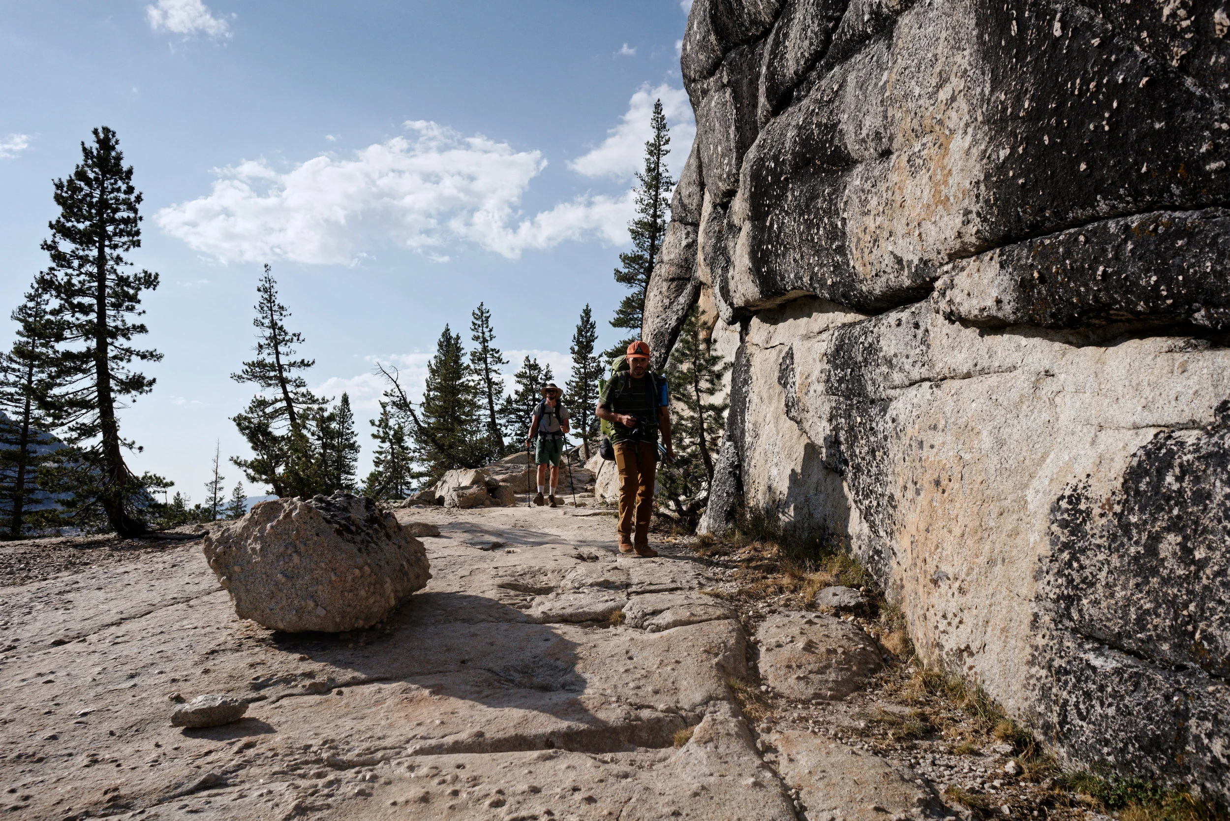
The journey from Glen Aulin to Tuolumne Meadows is legendarily beautiful. Written about countless times over the past 50 years, and a favorite path for early alpine mountaineers and photographers like Ansel Adams and of course John Muir himself. After a few jaunts of elevation, we were eventually lifted up even to the elevation of Tuolumne Meadows. The remaining portion of the trail is well worn granite sand trails and exposed granite domes. More familiar summits could be spotted not far off, like Cathedral Peaks and Pothole Dome.


As the last treeline was in sight, we could see Tuolumne Meadows open up below. The sun was setting and the calm streams and fields of tall grass was a welcome sight. The most stunningly beautiful open spaces in Yosemite are reserved to Tuolumne Meadows. As we watched the last sunlight fade behind the high mountain peaks, we unloaded our packs from our backs and jumped in our parked van. We all wished we had another night to spend in Tuolumne Meadows and vowed we would be back up here again very soon.


On the drive home, a unanimous vote was made to make a stop in Groveland, CA to get some pizza. Our lust for creature comforts was in full effect, and Groveland always makes the perfect stopover point to refuel and replenish after exploring Yosemite (or getting supplies on the way to Yosemite).


Next time you’re planning a Yosemite adventure, we would highly recommend exploring Tuolumne Meadows and this epic backcountry hiking trip!